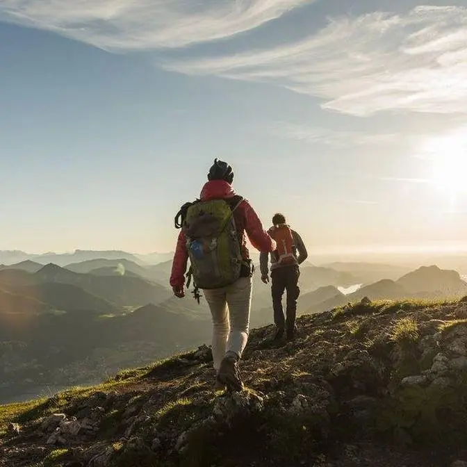
Come with us as we hike in the incredible Swiss Alps - climbing Piz Lunghin near Maloja and St. Moritz! The views were incredible but it wasn't all plain sailing...
After breakfast with Nonna and Grandpa, they kindly offered to give us a lift to Maloja, where we drove through the town and went to a viewpoint overlooking the route down into Italy: the Maloja Pass. We then drove to a car park by the side of the road where we said our goodbyes and began the hike.
The initial ascent through the trees was a beautiful start to our first hike together in the Swiss Alps and when we came to a clearing we had phenomenal views over the entire region, Silsersee glistening in the sun. After a short break on a perfectly-placed bench, we continued the climb whilst admiring the pretty "alp roses" - not actually a rose at all but a Rhododendron. On a hill nearby Maloja, we spotted Belvedere Tower, the deceptively medieval-looking building that was dreamt up in the 19th century by a Belgian count wishing to attract wealthy aristocrats to the town. Although he didn't live to see it completed (and the adjacent hotel is now in disrepair), the tower has become the symbol of Maloja. We also glimpsed the Albigna Dam further up the valley, which creates clean electricity that's sent to Zurich. It's been in operation since 1959 and is 115m tall and 759m long!
We pushed on as the gradient got steeper and were pleasantly surprised to end up walking alongside the powerful 120-metre Innfall, which I gladly flew my drone over. We eventually reached its source, Lunghinsee (Lunghin Lake), where we stopped for a delicious lunch kindly prepared for us by Nonna.
After lunch we pushed on in an attempt to summit Piz Lunghin, which is considered the "roof of Europe" as the peak is nearby the triple watershed of the Lunghin pass and water running off this mountain can head towards the Mediterranean, the North Sea and the Black Sea (by the rivers Po, Rhein, and Danube).
Unfortunately, the weather wasn't on our side and some clouds rolled in, reducing visibility massively. We made the decision not to push on and headed back down the mountain. Of course, about an hour later the peak was standing majestically against of perfectly blue sky, with not a cloud in sight! We'll summit on our next visit...!
We made our way back down to the town of Maloja with some of the most fabulous views of the valley with the alp roses in the foreground, where Nonna and Grandpa met us with a couple of drinks in the car. How lucky we felt!
Stay tuned for more vlogs!
Want to see the best places to visit in the St. Moritz, Switzerland and beyond? Subscribe to see the newest vlogs and travel guides! Please don’t forget to leave a like and we’ll see you all in the next one! 19/6/22
0:00 - Intro 0:45 - The Maloja Pass 1:17 - Hike details 1:54 - Maloja and wildflowers 2:19 - Belvedere Tower & Albigna Dam 2:50 - Innfall (waterfall!) 4:07 - Highland cows! 4:27 - Hiking to the lake 5:06 - Lunghinsee (Lunghin Lake) 5:38 - Attempting to summit Piz Lunghin 7:06 - The problem 8:22 - The way down 9:41 - Outro
*these links are affiliate links. This means that if you follow the link and make a purchase I get a small commission at no extra cost to you. If you want to buy any of the gear I use and want to help me out at the same time then please use one of these links! #Hiking#Swiss
What's up beautiful people? We're just at the start of our
first full day here in Switzerland. We're about to do a hike. Where are we going to on here?
First we're going to Lag der Langrin, which is the lake. We're going to have lunch there,
should take about two hours. I think it's different to google maps, they think people
are going to hike quite quickly. And then after the lake we go right up to the top
of Piz Langrin. Let's go! How do we know we're on the right track?
Just got to follow these markings. This is definitely a perfectly placed bench. If ever
we sat on one, look at that for a view right there. This area is called the Engerdeen, right?
Engerdeen, yeah. And we're like a 20 minute drive from where we were staying with Anna's
grandparents. It's not that far from Samaritz. We passed a couple of lakes, we went through
Silver Plana and then this is Molloyer. And what we did see earlier was the road that goes all the
way down, it goes down to Italy and it drops from something like 2000 meters to like 300 meters.
I think there's about 40 hairpin bends. And what's today's route like then for us? So today's route
is straight up. Straight up here? So this is the elevation gain, it's just an out and back walk
around 9.7k. But what we did is my parents recommended we start from the edge of the lake
so that as you come up here you get better views of the whole lake.
And we've also got this lovely bench. We join the all trails path, zigzag all the way up to
Lag de L'angouine, so the lake, and that's where we're going to have lunch.
And then it's a very steep climb up to the top.
One of these wildflowers.
As we walked, we had views over the entire region and spotted what looked to be a medieval castle.
Despite its appearance, Belvedere Tower was actually the 19th century work of a Belgian count
who dreamed of transforming Molloyer into a popular destination for wealthy aristocrats.
Belvedere Tower has since become the emblem for the town. Further up the valley, we saw the
It's used to create clean electricity which is then sent all the way to Zurich.
There's a waterfall just up here somewhere that we're probably going to pass a little bit further
got our first views of snow just, what, like 30 or 40 meters further up here.
In elevation, this is like 200 meters away actually.
Is it cold? So nice.
Lovely. Okay. Holy cow.
Not far from the lunch stop at the lake right now. We've done nearly 4k, over 550 meters.
The pace has slowed a little bit. It's got a bit steeper just as we're coming up to the lake.
I'm very, very sweaty. This cap is probably destroyed.
There's a sign. There's a lake. We are ready for lunch. Check this out.
Sandwich time. Yay. Made with love by Nana. Made with love by Nana. Thank you Nana.
Lunch has energized us and we are well on the route to the top now. We've come across the
snow and look, we can see we're heading just up here we think. We've got some clouds rolling in so
we're going to try and make it up sharpish before any other weather,
any other like stronger weather could come in. But we're back on the ascent, ascent, ascent.
So we've got about 400 meters in distance but then like 100 meters in elevation.
30 meters so far. I got there. My current kind of, yeah, only in trainers and
sometimes it's kind of getting cloudy up there. It's a bit worrying. Yeah.
Yeah, it's getting hard to breathe. The altitude is definitely hitting us right now.
But the top is just, it's like over this bit and a bit further up. We'll have to see
what the clouds are doing in a minute.
Straight down there. Oh, a nice little ridge. Oh, look at that. Wow. Into the clouds. This is a
pure little ridge just here. Oh, how are you feeling? Look at that. On top of the world right
now. One side, other side. Can't see much at all down there. Right, that is the top just there.
So I think this is the point where we, this is now the point where we're turning around and
we're calling it. Especially as Hannah's grandparents literally warned us, they said.
The clouds come in, turn back around. And they have most definitely come, like you can't even
see the top now. So it's been an excellent hike. We're not going to risk it. Some beautiful views
to catch on the way down there. What's up beautiful people? Do you want to see the
border to Italy? Well, you're in luck because I got it just for you. Over there, these mountains,
which are super pointy, are actually the border to Italy. So there they all are. And there's my
babe. The sun's coming back out. I know. But the wind, it's getting a bit chillier. You know what
I love to see? What do you love to see? You know, the peak that we were just about to climb, but
couldn't because of all the clouds. Yeah. That is a shame. But I do not think that we're going to be
climbing back up to go to the top. Not now, I need a beer. We found the cows again.
I like these. I almost fell there. Little wooden steps to get down. Nearly there.
Just need to get down to town. How much elevation? About 920 metres of elevation. We did so well today.
And the lighting as we came down. Oh my God, it was like glowing. Like all the flowers were
glowing. They were like backlit. It was so gorgeous. Absolutely divine. Stunning. I'm
going to finish this one up here. If you've enjoyed this video, please leave it a like
and consider subscribing for more. Thank you so much for watching. Big love. It feels good around
here. Thank you. Let's get down the mountain.